December 15, 2013
Geologic Setting of Chang'e 3 Landing Site


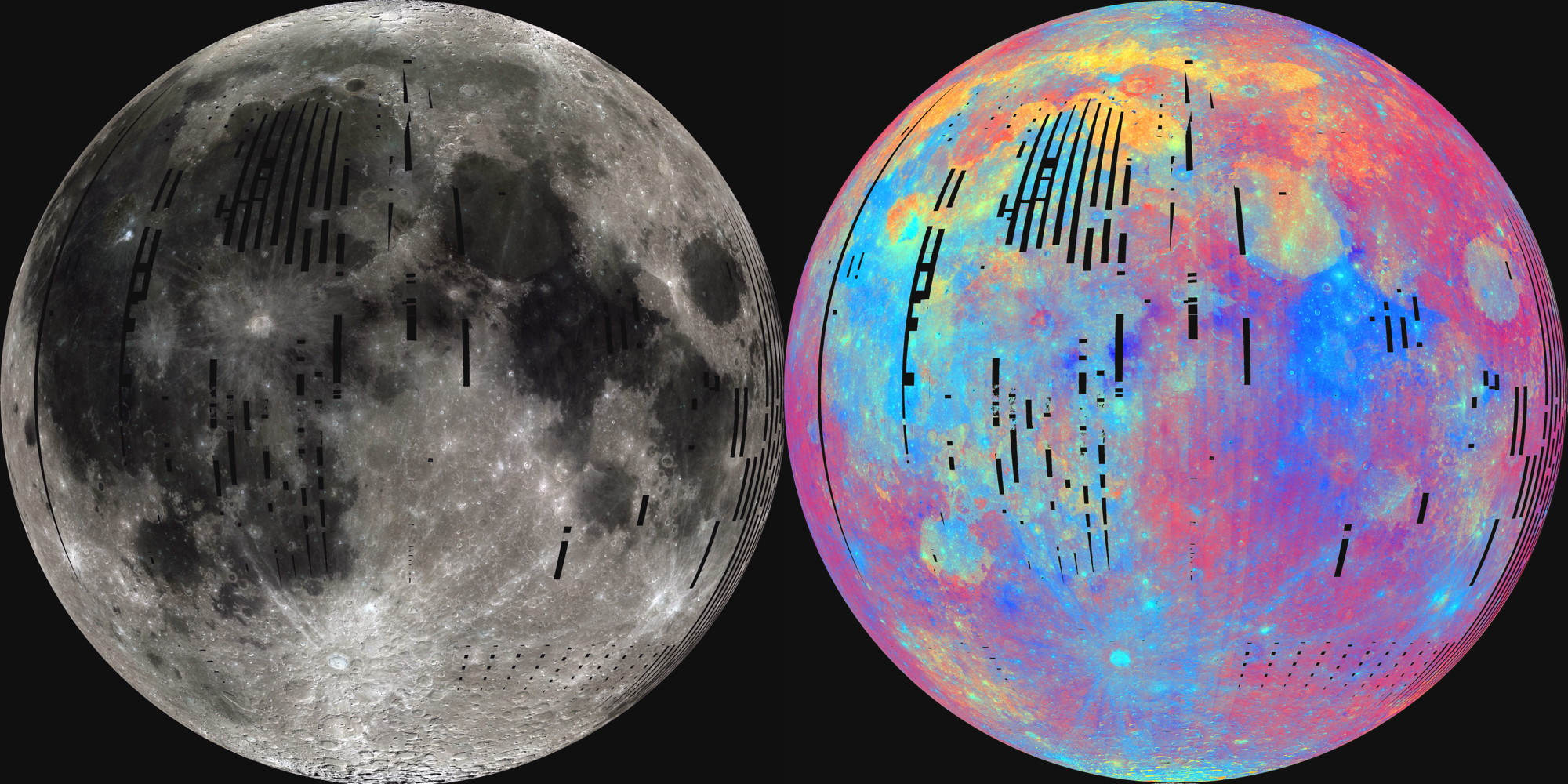
video from CNSA / CCTV / Emily Lakdawalla and LRO QuickMap image annotated by Chuck Wood
Chang'e 3 has landed and the rover Yutu has driven down its ramps, ready to start its science mission. This is a wonderful day for China and for science. So where is Chang'e 3 and what is its geologic environment? The spacecraft seems to have landed east of its planned landing zone, in fact, according to one Chinese graphic it is at the east end of where Chang'e 2 captured very high resolution images to select a landing site. Previously the landing site was spoken of as being in Sinus Iridum (and one announcer today on the English language CCTV news program said it landed in the Bay of Rainbows), but it is on northern Mare Imbrium (see arrow for approximate location) at 19.51°W, 44.12°N. The most obvious thing about the landing site is that it is near the eastern boundary of a large lava flow field that is darker than older Imbrium lavas just 10-15 km away. This lava boundary is well shown in radar, multi-spectral and amateur images.The darker lavas are titanium-rich and the surrounding lighter lavas are titanium-poor. In fact, a third color - more red on the Clementine multispectral mosaic - occurs just north of the landing site, suggesting a buried third basalt composition. Using the QuickMap altimetry tool, the top, darker flows show up as being 0 to 20 m higher than the bright lavas; the Yutu ground-penetrating radar may pick up a major discontinuity near the surface, marking where the dark lavas overlay regolith of the buried lighter ones. LRO and amateur images also show a mare ridge in the light unit in the image above; the ridge is difficult to see in the darker lavas, but must be under them. The Yutu radar may detect a thrust fault if in its few kilometer transects it passes over the ridge. LRO images reveal a line of small secondary craters very close to the landing area. These are generally aligned toward Pico B, a relatively fresh 11.6 km wide crater about 150 km NE of the site - it may have contaminated the surface with low-titanium debris. Enough speculation - I early await data!
Chuck Wood
Related Links
21st Century Atlas chart 19.
Emily's excellent coverage of Chang'e 3 landing. (And thanks for the animated sequence above!)
Yesterday's LPOD: Tricky Moon, Slow Learner
Tomorrow's LPOD: A Personal Remembering
COMMENTS?
Register, Log in, and join in the comments.


