August 24, 2009
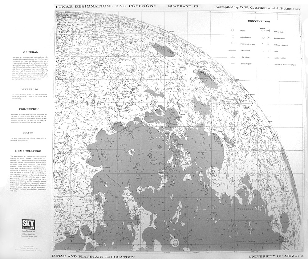
Quad 3
barrel distorted and low resolution image by Chuck Wood
Beer and Mädler published a lunar map in four quadrants in 1837, and so did the Lunar and Planetary Lab in the 1960s. Lunar Designations and Positions combined the eleven charts created for each quadrant catalog of the System of Lunar Craters published by Arthur and others. The craters were draw by Alice Agnieray as a series of ellipses at the measured positions and with the correct long axes and degree of roundness. Then the measuring assistants (including me) would use the Photographic Lunar Atlas sheets to determine if each crater had missing rim segments or overlapped nearby craters. Stippling was added to show the areas covered by maria, and prominent rilles and hills were labelled with existing IAU designations or given new ones. Although the IAU decided in 1960 that lunar maps should be made with north up, supposedly as astronauts would see the Moon from orbit, we made ours with south up because we were coming from the tradition of telescopic observers. All of our reference materials had south up (1935 IAU map, Schmidt, Neison, Beer & Mädler). And the IAU accepted the System of Lunar Craters and its maps as the new official IAU nomenclature. These quadrants and the 44 maps they came from are the only complete depiction of nearside lunar nomenclature for hills, rilles and valleys - the IAU has never revised them.
Chuck Wood
Technical Details
Sky & Telescope sold these maps periodically since the late 1960s, including as recently as 2-3 years ago when I bought these; they now seem to be out of print again.
COMMENTS?
Click on this icon File:PostIcon.jpg at the upper right to post a comment.


