May 1, 2009
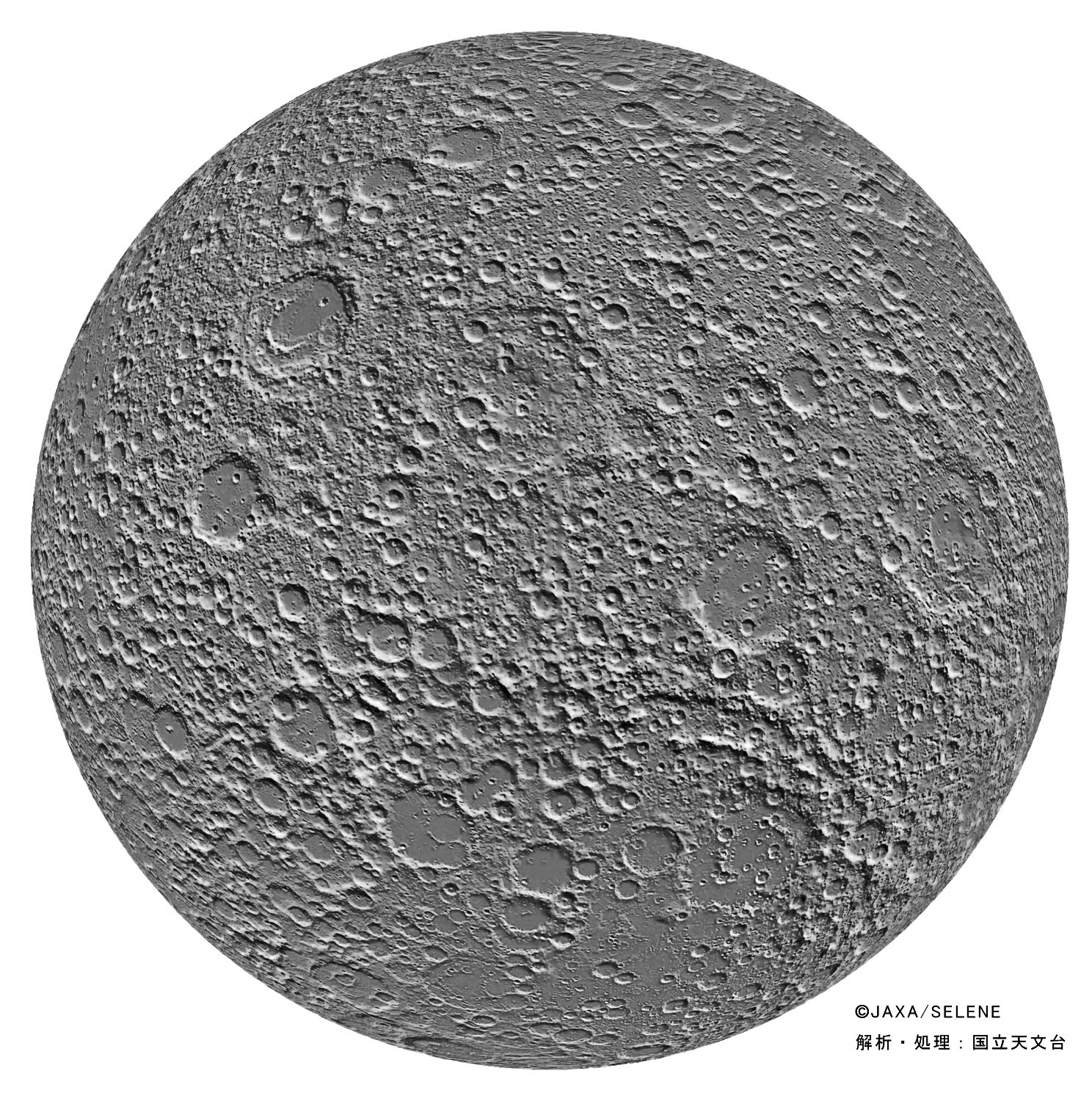
The Best Farside Map of the Moon

digital topography image map simplified from " rel="nofollow JAXA/Kaguya Image Gallery
The April 9th LPOD featured the best ever photomap of the nearside, and here is the companion for the farside. Like the previous map this was made by
transforming the Kaguya colored topographic map into a grayscale image. This map is vastly better than the three existing farside image maps - from
Clementine, Chang'e-1 and " rel="nofollow Phil Stooke - because this map has uniform lighting everywhere. This shows the farside as it has never been seen before
by anyone. Craters are everywhere, with few maria to create patterns. The impact basins are the only landmarks, with the relative emptiness of the South
Pole-Aitken Basin dominating the southern hemisphere. The old, degraded basin in the center is Freundlich-Sharanov, 600 km in diameter with a small
patch of mare in its center, and nearly undetectable on other imagery. Hooray, Kaguya!
" rel="nofollow Chuck Wood
Related Links
" rel="nofollow Laser Altimetry instrument


