June 1, 2010
Atlas Perfectibility?
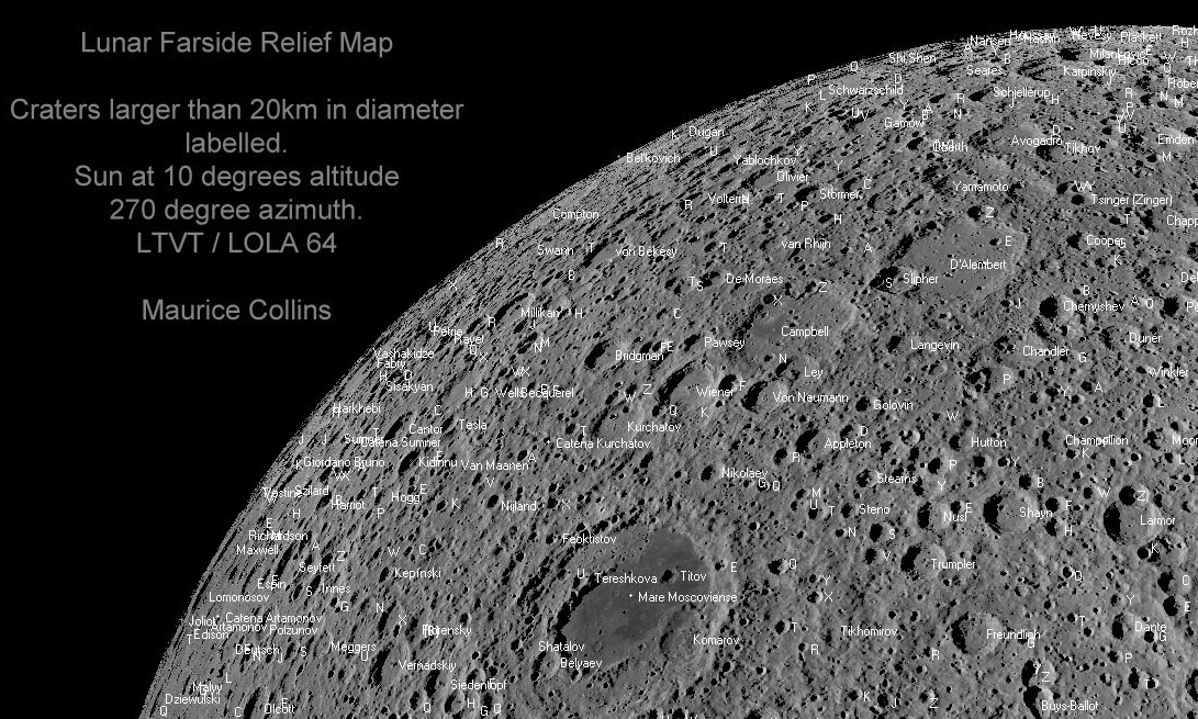
image by Maurice Collins, Palmerston North, New Zealand
I still get lost on the farside. But now I/we have Maurice's map with nomenclature for farside craters. This small excerpt and the full map were made using Jim Mosher's LTVT to display digital terrain data from the Lunar Reconnaissance Orbiter. The entire map is Chuck Wood
COMMENTS?
Click on this icon File:PostIcon.jpg at the upper right to post a comment.


