June 22, 2010
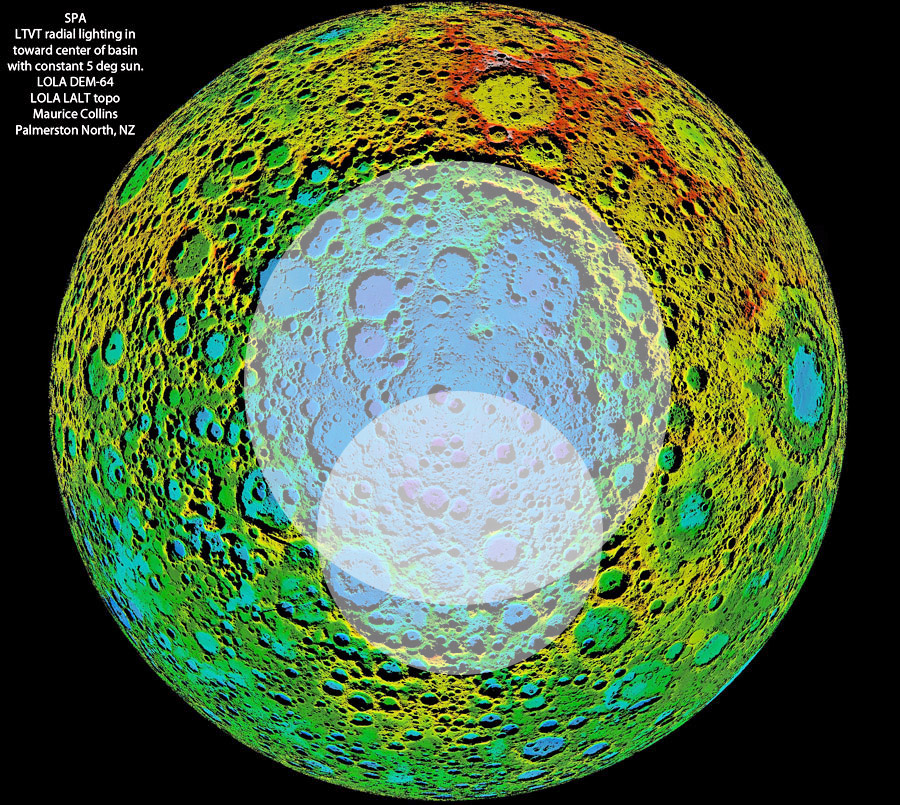
Tantalizing Colors
synthetic elevation image by Maurice Collins, based on LRO LOLA data, using LTVT (enough acronyms?)
Notice anything unusual about this digital terrain image centered on the Chuck Wood
COMMENTS?
Click on this icon File:PostIcon.jpg at the upper right to post a comment.


