May 16, 2013
Lonesome Chain
approximate north up image by Mike Wirths, Baja California, Mexico
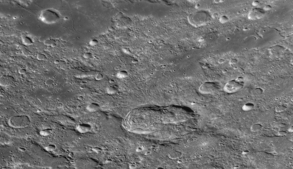
Hainzel A and B were probably formed by the simultaneous impact of a split comet or asteroid. Hainzel may have been a pre-existing older crater or perhaps was formed slightly earlier as part of the A/B collisions. What is remarkable is the very asymmetric distribution of ejecta. There is very little in any direction except to the north towards Ramsden. A broad swath of radial ridges and gullies extend from A about 30 km. Beyond that a single squiggly chain of secondaries goes 150 km from the crater rim to the edge of the mare. The chain extends another 35-40 km across the mare with a surrounding pin-pricks of brightness. The LRO QuickMap shows this extension across the mare to be a classic herringbone secondary chain with slightly overlapping craters wrapped in ejecta, making a v-pattern. This entire 190 km long chain is radial to the intersection of A and B, rather than the center of A. This seems to be strong evidence that A and B did form simultaneously. I can't see evidence of the herringbone pattern anywhere along the chain except where it cuts the mare. Perhaps the highland terrain is too rough for it to form.
Chuck Wood
Technical Details
April 22, 2013. Starmaster 18" (Zambuto optics), ASI120MM camera, 2.5X's powermate barlow, R/IR filter, Firecapture, and PS CS, topaz infocus
Related Links
Rükl plate 63
21st Century Atlas chart 24.
COMMENTS?
Click on this icon File:PostIcon.jpg at the upper right to post a comment.


